CHINALCO MINE
Junin, Peru
Minera Chinalco Perú S.A.
Dec 2023
As-Built Plans
Project Overview
DCMS carried out a 10,093-hectare photogrammetric survey of the Chinalco Mining Complex in Junín, Peru, to support infrastructure optimization, storage analysis, and logistics planning. Our goal was to generate accurate terrain models that would inform road system updates, asset mapping, and material flow distribution, ultimately boosting operational efficiency.
Deliverables
High-Resolution Orthophotos :Accurate, large-scale geospatial data
Digital Terrain Model (DTM): Supporting cut-and-fill volume estimates
Geospatial Mapping of Infrastructure: Roads, platforms, deposits, and working areas
2D & 3D Outputs: Compatible with GIS and engineering platforms


Our Role & Technology
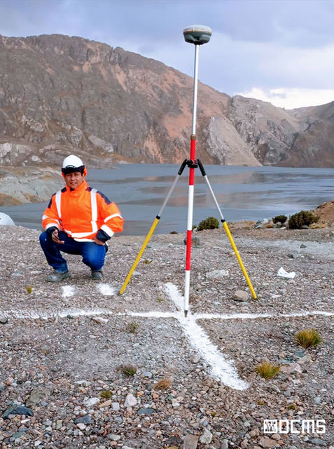
DCMS deployed RTK drones and photogrammetric software to collect and process thousands of images across the mining site. The final deliverables provided accurate visual and analytical documentation to optimize internal transportation, layout planning, and future construction. Tools Used::
Photogrammetric survey for mining infrastructure optimization using DJI M300 RTK drone,
Agisoft Metashape for 3D reconstruction,
QGIS and AutoCAD Civil 3D.
Key Challenges & Solutions
Optimized access and circulation through improved internal roads
Accurate mapping of assets and site infrastructure
Strategic layout planning to support operations and future expansion
OUR WORKFLOW:Scan, Process,
3D Modeling and Deliver

Chinalco Mining Group
Infrastructure & Field
Operations Unit – Peru
“Accurate, high-impact data driving infrastructure decisions”
DCMS provided accurate, high-impact geospatial data that’s shaping critical infrastructure decisions. Their ability to scan over 10,000 hectares quickly and precisely made them a trusted partner. The deliverables surpassed expectations in clarity and utility, bringing real value to our planning process.


